☰
Regional Information System
Dashboard
All Systems Operational
🔍
🔔
⚙
❓
A unified geospatial intelligence platform covering 6,328 sq. km. — connecting every corporation, council, nagar panchayat, village and government departments of the Mumbai Metropolitan Region.

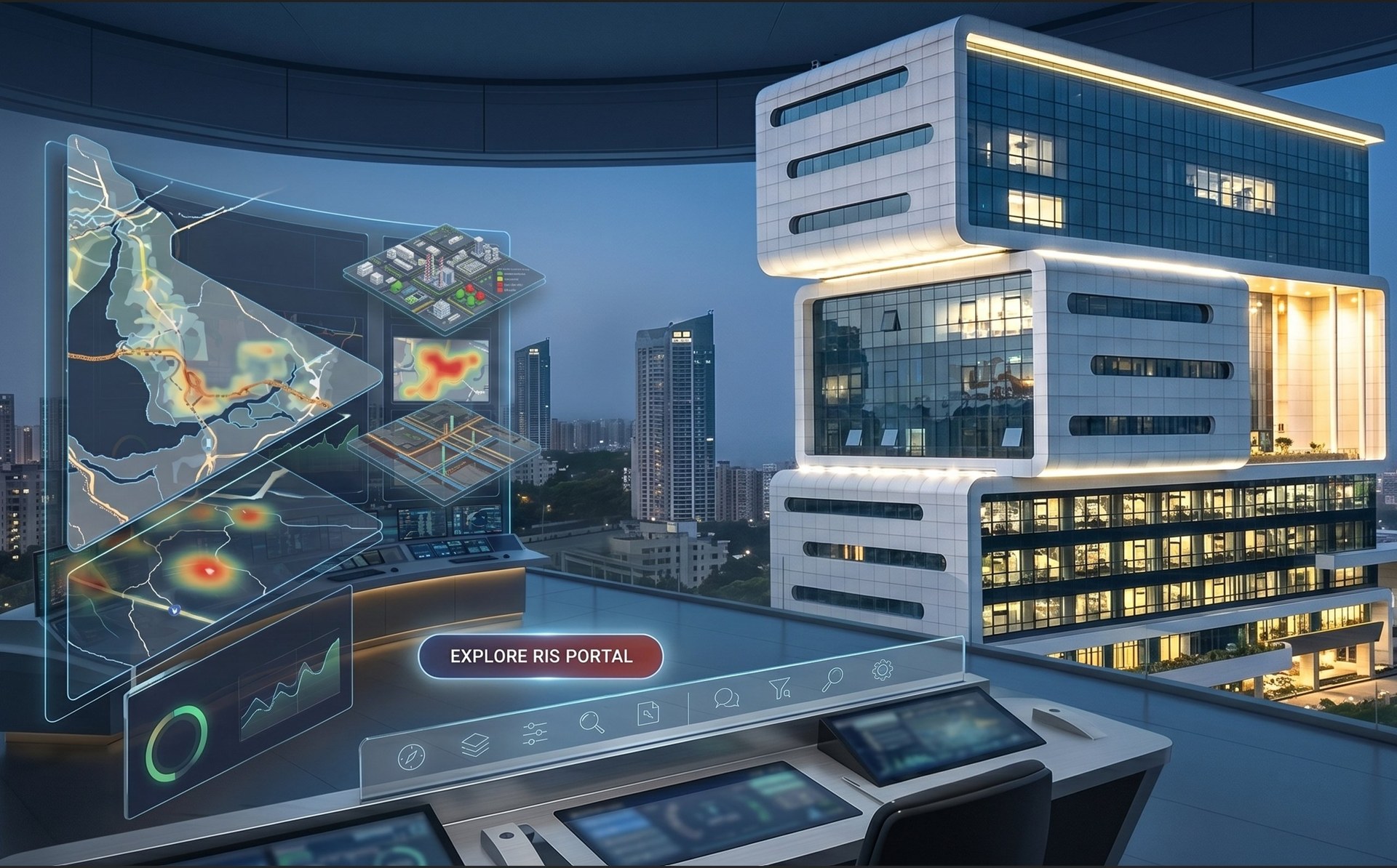
The Regional Information System is a comprehensive GIS-based intelligence platform commissioned by MMRDA and implemented by the RailTel–RSI Softech consortium — transforming how the region is governed through spatial intelligence and real-time analytics.
MMRDA RIS empowers citizens to engage with urban data and contribute to the city's development. Residents can access a wealth of information on public services, infrastructure projects, and city planning initiatives. Use the system's GIS capabilities to create custom maps, analyse data, and develop applications that address local issues — fostering a sense of ownership, encouraging innovation, and helping MMRDA tap into the collective intelligence of the community.

Interactive map with 200+ layers — queryable, exportable and customisable for every citizen of the Mumbai Metropolitan Region
From international boundaries to individual tree points — every spatial and non-spatial feature of the Mumbai Metropolitan Region is captured, structured and queryable.
Twenty-one use cases embedded into the RIS platform, each addressing a critical dimension of urban governance and city life.
An integrated Command and Control Centre at MMRDA headquarters — combining IT, OT and IoT in one platform. Video walls, event correlation, unlimited configurable SOPs, and real-time collaboration for every department across the region.

The Regional Information System is live and available to authorised MMRDA staff and government departments. Citizens can access the public-facing portal without a login.